


Let us transform the way you view and interact with your world. Our state-of-the-art drone mapping and photogrammetry services provide unparalleled aerial insights, offering detailed, accurate, and actionable data for a wide range of applications.
Ideal for land before, during or after development, existing sites for up-to-date aerial images, or landowners to help manage and understand their land.
The area to be mapped is programmed into the drone flight software, and the drone automatically captures data for either 2D or 2D & 3D reconstruction. 3D reconstructions require more thorough data capture.
The images are then processed by photogrammetry software, and the results are usually available the same day or following day.
Trust Aerial Imaging to get you the results you need
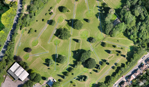
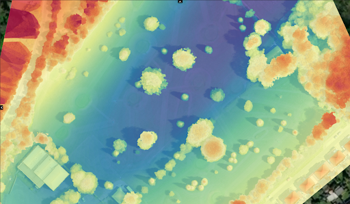
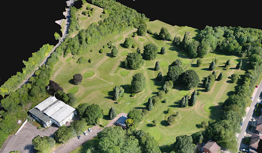
Site surveys created using photogrammetry
*Aerial Imaging South East is not a surveying specialist
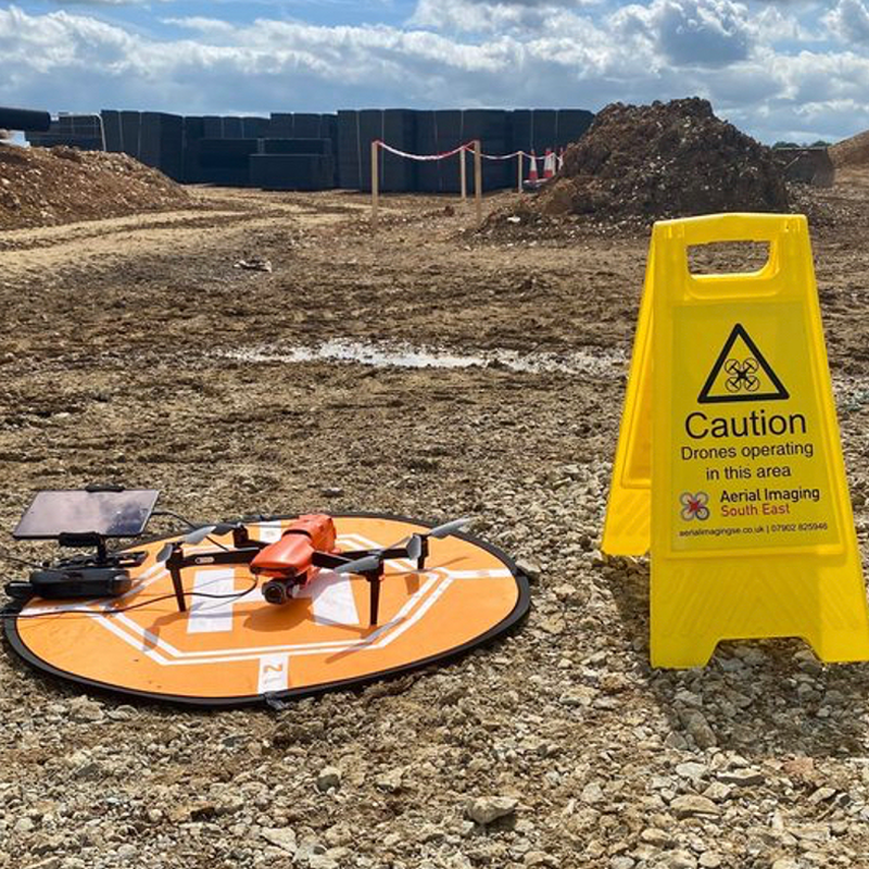
Using my own CSCS cards and PPE allows basic access to most sites following an induction
FM Conway has been using drone technology to carry out aerial photography and monthly site surveys at one of our sites in Medway to showcase how we are improving efficiency and accuracy across our projects

© 2024 Aerial Imaging South East
Website by Dzines Digital