Drone mapping and photogrammetry
Map large areas of land quickly, safely and without disruption!
Discover the Power of Aerial Insight for Your Projects
Unmatched Mapping & Photogrammetry Solutions
Let us transform the way you view and interact with your world. Our state-of-the-art drone mapping and photogrammetry services provide unparalleled aerial insights, offering detailed, accurate, and actionable data for a wide range of applications.
Ideal for land before, during or after development, existing sites for up-to-date aerial images, or landowners to help manage and understand their land.
- High-Resolution Imaging: Capture crisp, detailed aerial images for surveying, inspection, and mapping.
- Advanced Photogrammetry: Convert images into precise 3D models and maps, offering invaluable data for planning and analysis.
- Versatile Applications: Ideal for construction, agriculture, real estate, environmental monitoring, and more.
- Rapid Data Acquisition: Save time with quick deployment and faster data collection compared to traditional methods.
- Accurate and Reliable: Benefit from high accuracy in measurements for confident decision-making.
Drone Mapping can give you...
High resolution orthomosaic images
Easy to understand annotations
Terrain height/elevation visualisations
Fast, accurate calculations of distance, area height difference and volumetric calculations
Easy to follow progress updates with timelines.
Online link to view 2D and 3D maps, and tools for your own measurements
How does it work?
The area to be mapped is programmed into the drone flight software, and the drone automatically captures data for either 2D or 2D & 3D reconstruction. 3D reconstructions require more thorough data capture.
The images are then processed by photogrammetry software, and the results are usually available the same day or following day.
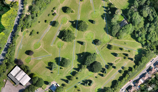
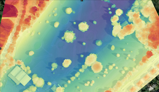
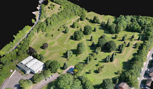
Professional results every time
Precise results
Trust Aerial Imaging to get you the results you need
High quality content
Site surveys created using photogrammetry
*Aerial Imaging South East is not a surveying specialist
Safety First
Using my own CSCS cards and PPE allows basic access to most sites following an induction
Case study
FM Conway

Aerial Photography in Medway
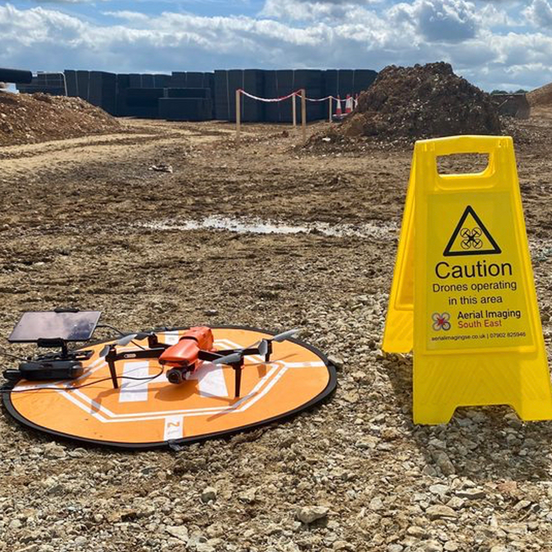
FM Conway has been using drone technology to carry out aerial photography and monthly site surveys at one of our sites in Medway to showcase how we are improving efficiency and accuracy across our projects
5 Star Rated
Clients Testimonials
Thanks to our clients
